Val d'Isère · Tignes–Val d'Isère ski area
The Val d'Isère ski map, as the people who live here read it
Download the full Val d'Isère piste map or open it live: 300 km of linked runs, from the town at 1,850 m up to the glaciers above 3,400 m.
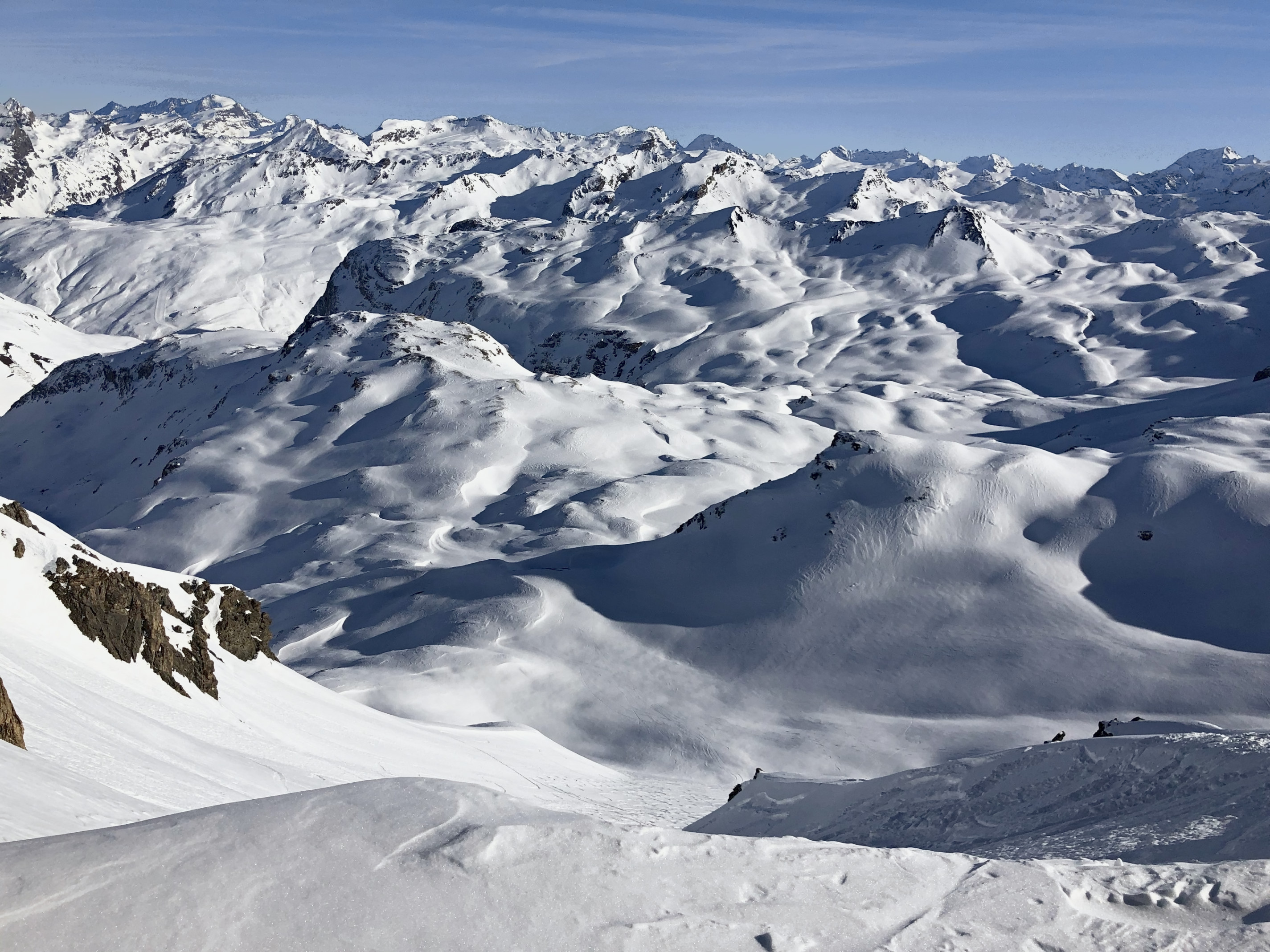
In brief
- Ski area
- Tignes–Val d'Isère (the old Espace Killy), around 300 km of linked pistes
- Val d'Isère side
- roughly 150 km, four sectors: Solaise, Bellevarde, Le Fornet, La Daille
- Town altitude
- 1,850 m
- Top of the lifts
- Pissaillas glacier 3,141 m (Val d'Isère); Grande Motte glacier 3,456 m (Tignes side)
- Rocher de Bellevarde
- 2,827 m
- Format
- free PDF to keep in your pocket, plus the resort's live interactive map
- Season
- 2026-27 map, download link updated each winter
Keep both maps to hand: the PDF and the live map
The Val d'Isère ski map comes in two forms, and it pays to carry both.
The PDF is the one you fold into a jacket pocket for the moment your phone battery fades at the top of the Solaise gondola in a cold wind. It shows the whole Tignes–Val d'Isère area on one sheet: every lift, every graded run, the colour codes, the links across to Tignes. Download it and save it offline.
The live map on the resort's own site is the one for the morning coffee, it tells you which lifts are turning, which runs are open, and what the snow's doing higher up before you commit to a plan. On a flat-light day that single piece of information changes where you point the skis.
A quick word on the colours, which vary from country to country. In France the greens welcome true beginners, the blues make for easy cruising, the reds steepen noticeably, and the blacks are steep and often bumped. Where North America adds a double black, Val d'Isère lets a black like the Face de Bellevarde speak for itself.
Download the current PDF and you're set for the season.
Get to know the four sectors you'll ski
Val d'Isère's own terrain splits into four sectors, and two of them lift straight out of the town centre. Get the shape of them and the map reads like a familiar valley.
Solaise is the sunny, rounded sector above the village, wide blue and green runs on a plateau around 2,500 m, a covered lift for ski school mornings, and a lovely spot to find your legs on day one.
Bellevarde is the serious one. The Rocher de Bellevarde tops out at 2,827 m, and its long runs, the Verte, the Mont Blanc, carry beginners and improvers a very long way down, while the Face de Bellevarde, the Olympic downhill, sits there for anyone who wants to know what a proper French black feels like under race-tuned edges.
Le Fornet, at the far end of the valley, is the quiet one and the high one. The cable car out of the hamlet of Le Fornet climbs to the Pissaillas glacier at 3,141 m, the last snow to go soft in spring, the first place to look when the rest of the hill is baking. Our Val d'Isère snow page explains why it lasts so long. From up here you can also drop back towards Solaise, so the sectors link both high and low.
La Daille, at the mouth of the valley as you arrive from Bourg-Saint-Maurice, is the gateway in the morning and the way home at night. Its funicular climbs straight to Bellevarde, and at the end of the day the OK, the World Cup run, brings you all the way back down to it: long, steep, and a fair measure of the legs you have left.
And then there's Tignes, across the link, sharing the ticket: the Grande Motte summit rises to 3,656 m, with its top lift station at 3,456 m, which is why the combined area holds snow the way it does. One piste map covers the lot.
Step beyond the piste map, into the off-piste
Beyond the printed lines lies the terrain we love to show you.
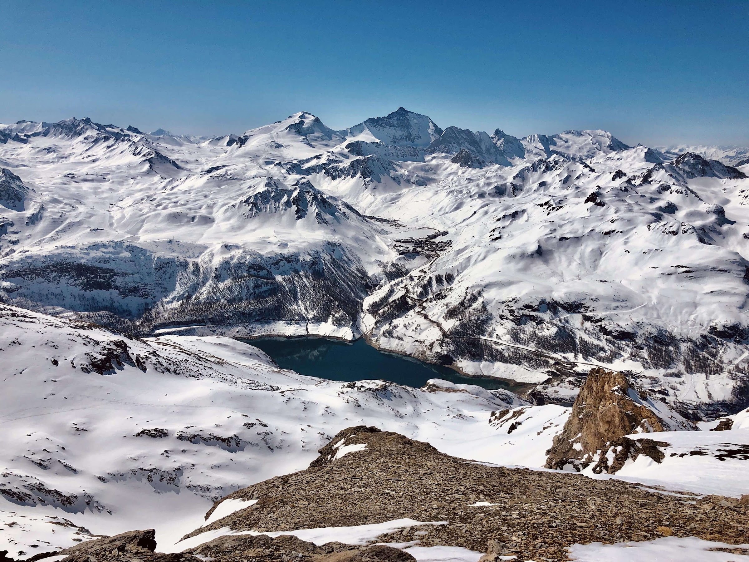
A piste map is a promise: these runs are patrolled, graded and checked. One metre beyond the edge, the mountain takes over: the marked line ends, and the terrain carries on, unpatrolled. The off-piste that makes Val d'Isère one of the great freeride names in the Alps lives in exactly that gap: the bowls under Bellevarde, the couloirs left uncoloured, the powder fields off the back of Solaise that come alive in real snow.
Names like Banane, Super Santon and Beneys sit around the Rocher de Bellevarde. Each is pure terrain: open faces, rolls and bowls whose mood follows the wind of the last three days and the light of the last three hours. The Couloir des Pisteurs, off the Grand Pré chair with a walk to the top, is one of the hardest lines on the mountain: steep and tight from the first turn, a line for seasoned experts.
That terrain calls for someone who reads the avalanche bulletin every morning, carries transceiver, shovel and probe as a matter of course, and has the good sense to turn back: a different sort of map entirely, and the one we hand you.
See where the lines are: our off-piste skiing in Val d'Isère
Beginners: your first runs, and where to find them
Val d'Isère has a reputation as an experts' resort, and its beginner terrain comes as a lovely surprise once you know where to look.
Solaise is the answer for a first week: a whole plateau of green and blue runs at altitude, snow-sure, gentle, and served by a modern lift, so day one is all about the skiing. Bellevarde then gives you the long confidence-builders, the Verte and the Mont Blanc run for kilometres at an easy, even pitch, so you cover real ground from your very first days.
Worth knowing early on: the reds that link sectors steepen in places, and the town-return runs get busy and scraped by late afternoon. On the PDF, trace your way home before you set off, and the last run of the day stays relaxed. If you'd like an instructor alongside for those first runs, our ski lessons in Val d'Isère start from your very first turn.
Experts: test yourself on the runs that made the resort's name
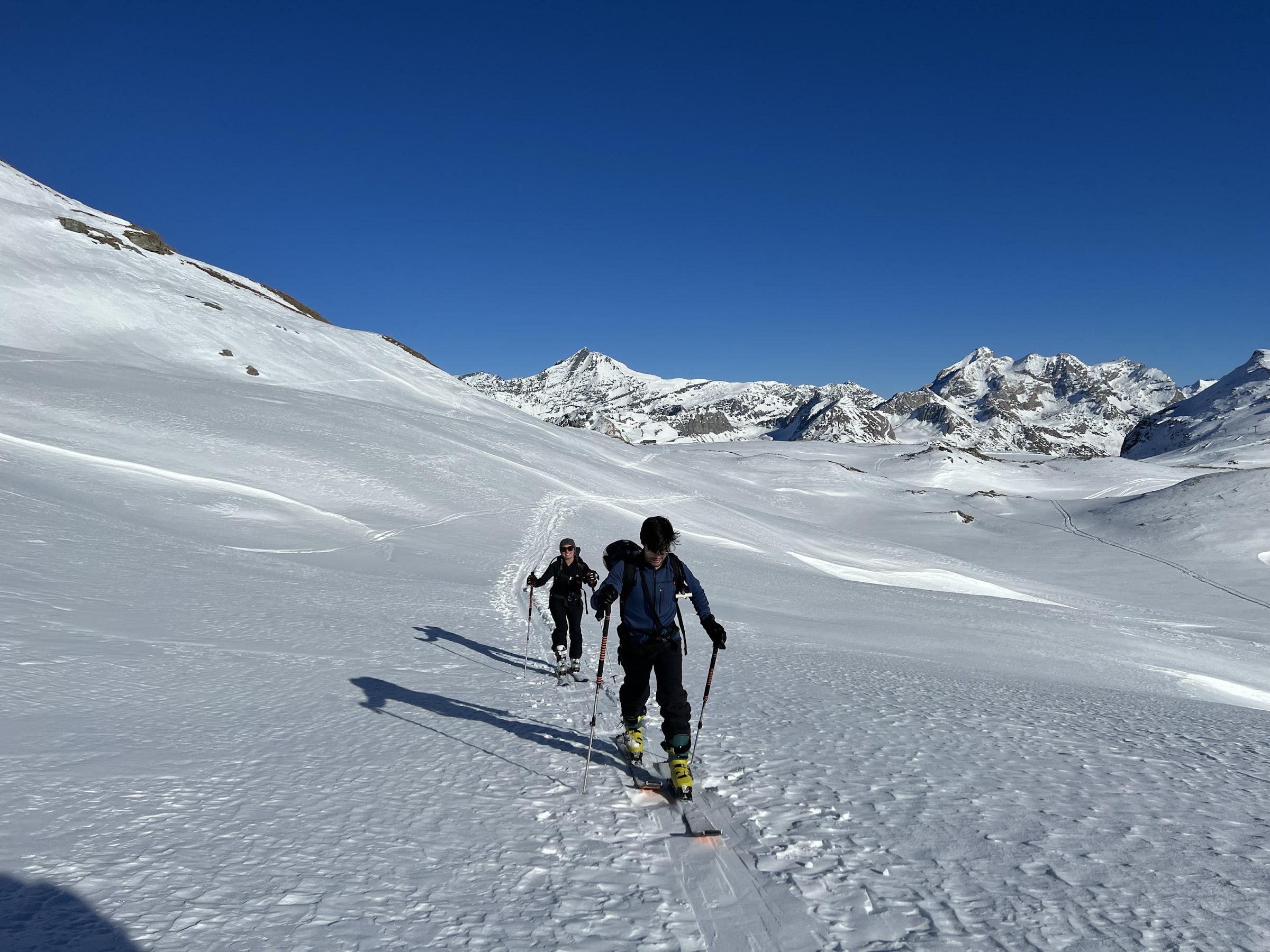
The Face de Bellevarde is the one everyone talks about: the Olympic men's downhill from 1992, a black that drops off the Rocher de Bellevarde and keeps its pitch all the way to the bottom. Steep, often mogulled, entirely on-piste, and a fair test before you go looking for anything wilder.
Beyond it, the piste map thins out fast, and that is where the finest terrain begins. The steep marked blacks feed naturally into the off-piste that surrounds them: the bowls under Bellevarde, the high shoulders off the Pissaillas, the couloirs that need a walk in. The map takes you to the edge of that; we take you into it, at the right time, on the right aspect.
When you're ready to leave the piste: off-piste & freeride, guided
Cross to Tignes: one ticket, two resorts
The Val d'Isère lift pass and the Tignes lift pass share the same Tignes–Val d'Isère area, so a single map covers both and the same ticket takes you across for the day. The crossing points are marked on the PDF, you go over the top from Bellevarde, by Tovière and the Col de Fresse, or from the heights of Solaise.
Tignes brings the Grande Motte glacier at 3,456 m into play: the highest lift-served snow in the area, a long, reliable descent, and the reason the combined region skis into late spring. If you're chasing snow on a warm week, cross to the Tignes side in the morning and ski the glacier while it's cold. Our Tignes ski map reads that side sector by sector, and the Espace Killy piste map shows both valleys together.
Stay up to date: the PDF, the live map and the 2026-27 sheet
The PDF on this page is the current Tignes–Val d'Isère season map. Download it, and it works offline on the hill, right up at the top of the Fornet cable car.
For anything live, lifts turning, runs open, snow depths, use the resort's own interactive map, linked below in the sources. It updates through the day and it's the one to trust on a changeable morning.
We refresh the download here for each new season, so the sheet you save is always the current 2026-27 map. If a link ever looks out of date, tell us and we'll sort it.
Getting the map — PDF, live map, and the 2026-27 update
The PDF on this page is the current Tignes–Val d'Isère season map. Download it, and it works offline on the hill, no signal needed at the top of the Fornet cable car.
For anything live, lifts turning, runs open, snow depths, use the resort's own interactive map, linked below in the sources. It updates through the day and it's the truth on a changeable morning.
We refresh the download here for each new season, so the sheet you save is the 2026-27 map, not a screenshot of an old one doing the rounds on the internet. If a link ever looks out of date, tell us and we'll sort it.
Ski the mountain that lies beyond your piste map
A piste map charts the places someone else looks after for you. Every metre of it is patrolled and graded, and the pistes alone make a superb holiday.
The terrain that made Val d'Isère's name lies just beyond it. The powder fields off Solaise, the bowls under Bellevarde, the couloirs that plunge off the back: all of it uncoloured and unnumbered, because it is open, uncontrolled mountain. Wonderful on the right morning, and unforgiving on the wrong one.
That gap, between the edge of the printed map and the real terrain beyond it, is where we take you. Each morning we work out which aspect held the snow, which face loaded overnight, which line is skiing well today and which one to save for another day. You keep the PDF for the pistes; for everything past its edge, you ski with people who know the mountain.
See what's out there: Off-piste skiing in Val d'Isère · Val d'Isère ski school · Ski touring courses
A word from the founder
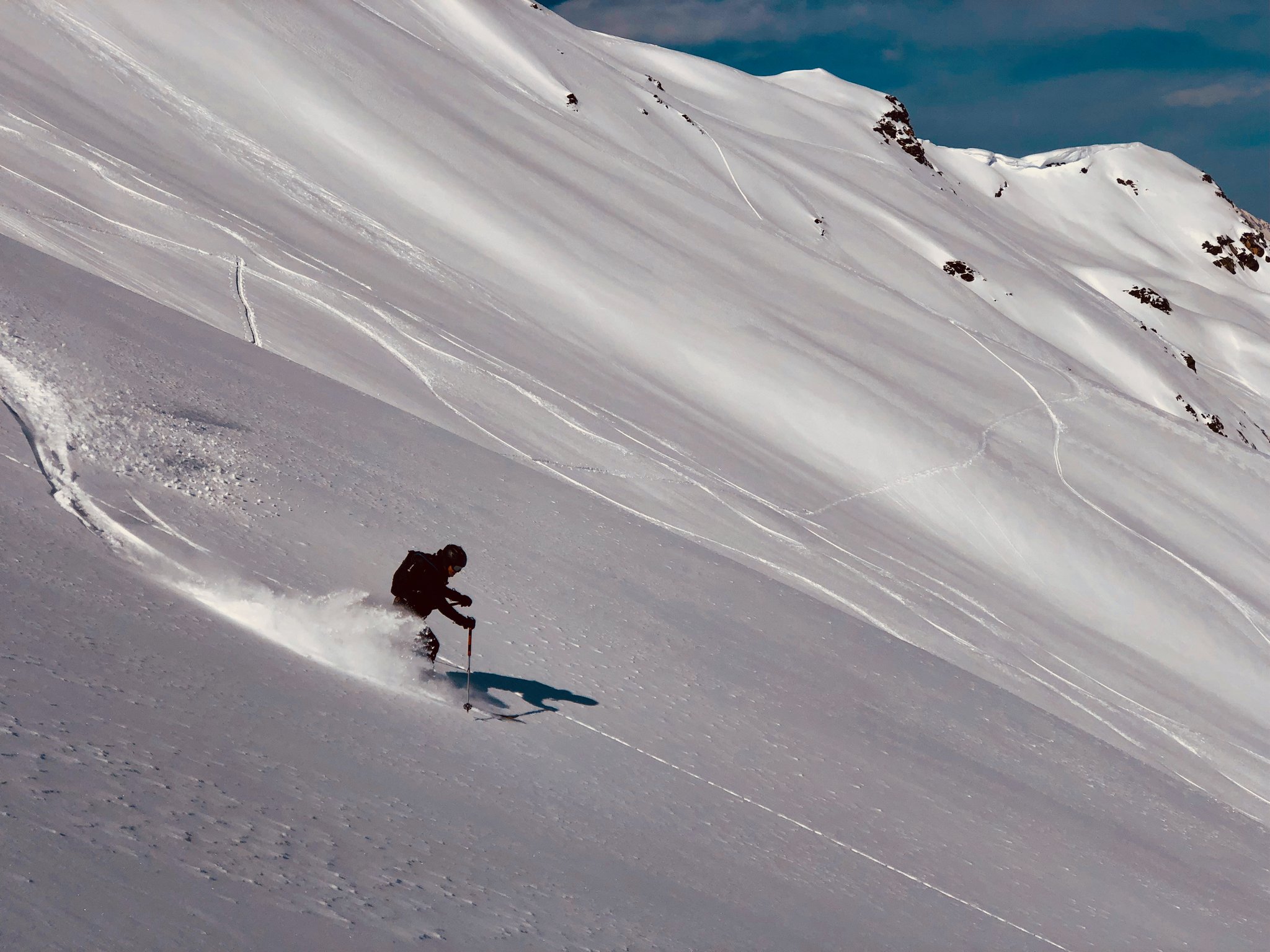
Since 2001 we've been taking skiers off the Val d'Isère pistes, from bluebird days to whiteout. We could draw this map from memory; what we love to show you is everything around it, and how to choose your moment. Download it, learn the sectors, and we'll take it from there.
Boris Malesset, founder, PowderWeGo, off-piste professional in Val d'Isère since 2001
The pistes on the map form the patrolled, controlled ski area; beyond them, the mountain is natural, unpatrolled terrain. The marked itineraries, such as the one that leaves Solaise for the Manchet valley, are signposted and open, yet neither groomed nor patrolled continuously, and they sit outside the patrolled area. Leave the groomed, marked runs and you are in avalanche terrain, where the risk remains on a fine day and a few metres from a piste. Before anyone in our care leaves a marked run, we read the day's avalanche bulletin (Météo-France BRA for Savoie) and weigh it against the weather and the recent wind, and every skier has a transceiver, shovel and probe from the school, and knows how to use them. Turning back is part of every plan. On guided off-piste and touring days you ski with a qualified off-piste ski instructor or mountain guide; where a route calls for a guide, one joins us on request. On the marked area, the closures and signage always have a good reason: please respect them.
FAQ
Where can I download the Val d'Isère piste map as a PDF?
Right here. The download on this page is the current Tignes–Val d'Isère season map as a PDF, free, and it works offline once it's on your phone. For live lift and run status, use the resort's own interactive map, linked in our sources below.
Is the Val d'Isère map the same as the Tignes map?
Yes. The two resorts form a single linked area, once known as the Espace Killy: one piste map shows both, and one lift pass takes you across. The crossing points between the two resorts are marked on the sheet.
How big is the Val d'Isère ski area, and how high does it go?
The linked Tignes–Val d'Isère area runs to around 300 km of pistes. The town sits at 1,850 m; on the Val d'Isère side the lifts top out on the Pissaillas glacier at 3,141 m, and on the Tignes side the Grande Motte glacier reaches 3,456 m.
Which sectors are best for beginners?
Solaise, above the town, has a plateau of gentle green and blue runs at altitude with a modern lift: the best place to start. Bellevarde then offers long, easy blues like the Verte and the Mont Blanc that carry you a long way down at a forgiving gradient.
Is the 2026-27 map available?
Yes. We update the download here for each season, so what you save is the current 2026-27 Tignes–Val d'Isère map rather than an old screenshot floating around online.
Does the piste map show the off-piste?
No. The map shows only patrolled, graded runs, and off-piste terrain is neither, so it stays blank. The bowls, couloirs and powder fields around Solaise and Bellevarde are the terrain we guide, after a close read of the snow and the morning bulletin.
Does the piste map show the off-piste?
No, and it shouldn't: off-piste terrain isn't patrolled or graded, so it never appears on a piste map. The bowls, couloirs and powder fields around Solaise and Bellevarde are exactly where guided skiing comes in, with someone who reads the snow and the bulletin before you drop in.